Friday, 6th April 2012
In 2011, Shoothill developed a property map for Microsoft. Microsoft wanted the properties on this map to include flood risk information. To achieve this, Shoothill approached the UK government to gain access to this data.
During this project, Shoothill spotted an opportunity to allow the British public to view flood related data based on their geographical location. This idea was originally pitched to the Environment Agency. They liked the idea but wanted to see it go a step further and use their live flood data.
On the 1st April, Shoothill successfully launched FloodAlerts, just in time for what is forecast to be a very wet month. FloodAlerts is our response to the request of the Environment Agency and is integrated with Bing Maps. FloodAlerts is now live online to the general public via a website and Facebook application. FloodAlerts has been a complex project, but we are proud of the result and we truly believe it will improve the lives of the British public for many years to come. Check it out today here.
Flood Alerts: http://www.floodalerts.com/
Shoothill: http://www.shoothill.com/
For business enquiries: [email protected]
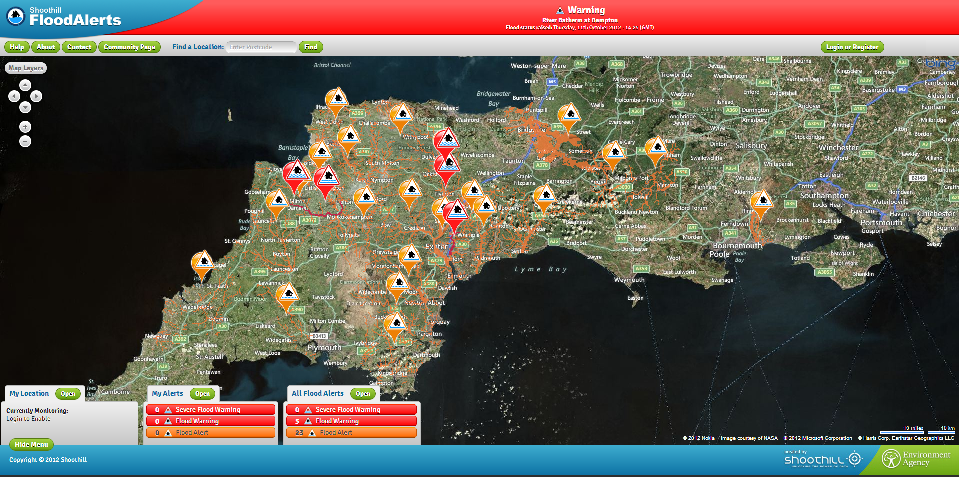
Image: A glance at Flood Alerts’ live flood risk data, which displays risk data all over the UK